| |
Austin's street history truly begins in 1839, just prior to the city's founding, when Mirabeau B. Lamar, President of the Republic of Texas, commissioned his old war-time friend Edwin Waller to survey the site for the new capital city and to oversee its planning and construction. Waller, who had participated in the signing of the Declaration of Independence and was well-acquainted with pioneering work, accepted the task. After the area was thoroughly surveyed and the first city plan drafted, Waller and his team of 160 men proceeded to convert the wilderness site into a working city within a matter of months.
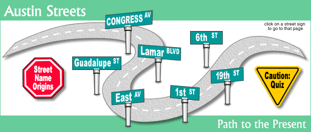
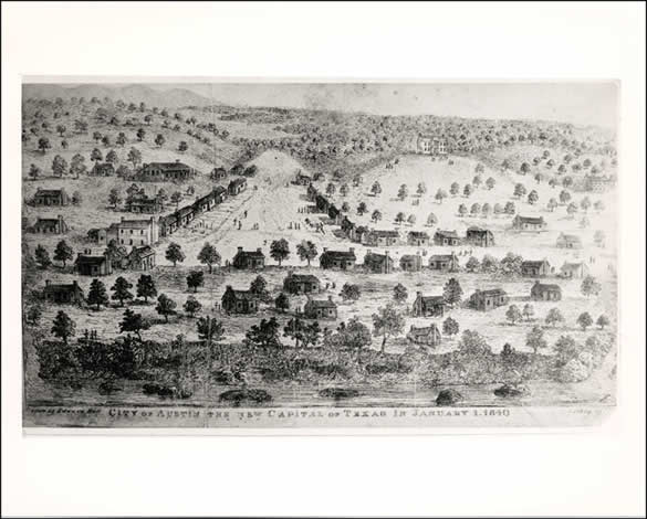
The city was laid out in a simple grid pattern on a single square-mile plot with 14 blocks running in both directions. One grand avenue, which Lamar named "Congress," cut through the center of town from Capitol Square down to the Colorado River. The streets running north-south (paralleling Congress) were named for Texas rivers with their order of placement matching the order of rivers on the Texas state map. The east-west streets were named after Texas trees, despite the fact that Waller had recommended using numbers (they were eventually changed to numbers in 1884). The city's perimeters stretched north to south from the river at 1st Street to 15th Street, and from East Avenue (now IH-35) to West Avenue. Remarkably, much of this original design is still intact in the downtown area today.
|
|
| |
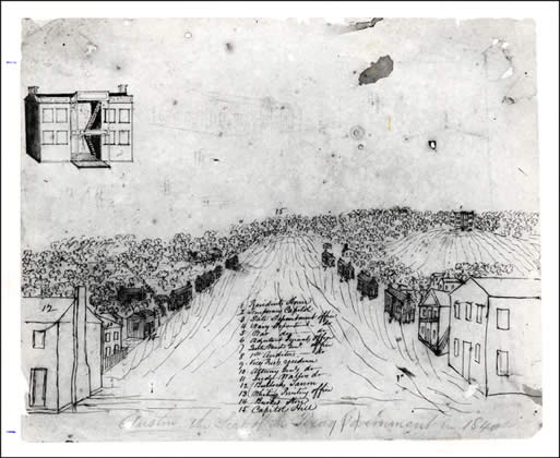
In the early years, the government buildings and homes were all log cabins. Even the city's capitol building was a log cabin, although the primitive structure was regarded as merely a "temporary" residence for the capitol (until a more dignified structure could be built). In this rendering of the city in 1840 by Edward Hall, the log cabins that lined both sides of Congress Avenue from Pecan Street (6th) up to Capitol Square are identified with numbers. The temporary capitol, which was located at Hickory (8th) and Colorado, is pictured just west of Congress Avenue nestled among the trees. President Lamar's house, a two-story dwelling facing 7th Street between Brazos and San Jacinto, is depicted on the hilltop to the east of Congress. If you look closely, there is a faint outline of the "future" capitol just left of center above Capitol Hill. |
|
[PICA 01083] enlarge image |
|